
Monday's Storm Was the Wettest Day in Las Vegas Since February, and Crews Pulled a Man From a Drainage Tunnel
Related Stories
Las Vegas Removes Grass From 15 Parks
215/Summerlin Parkway Past Halfway
Summerlin Library Free Fall Festival
It finally rained in Las Vegas. On Monday night, Sept. 28, a wave of thunderstorms gave Harry Reid International Airport 0.23 inches of rain, its wettest day since Feb. 18, and put the valley under a flood advisory for several hours. That same night, Clark County firefighters used a rope system to pull a man out of fast-moving water in a drainage tunnel near Twain and Eastern avenues. He was checked on scene and released.
A quarter inch of rain does not sound like much. But in a year when the airport had logged just under an inch of rain total, it was a big deal. Some neighborhoods got a lot more than the airport did. Rain gauges run by the Regional Flood Control District showed 0.75 inches in the far southwest valley and 0.59 inches in South Summerlin.
This post walks through what happened, how much rain fell where, why a short storm can still be dangerous here, and what the forecast looks like now. I will also share a few practical things every homeowner and renter in Clark County can do before the next storm rolls in.
What Happened Monday Night
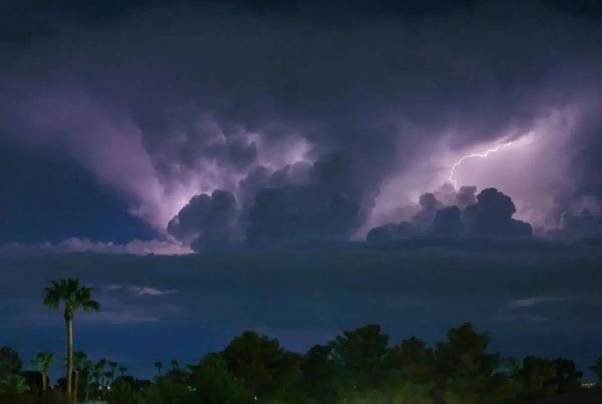
According to the Las Vegas Review-Journal, the storms swept into the valley from the west around 8 p.m. Monday. Most of the valley got at least a few showers. Brian Planz of the National Weather Service office in Las Vegas said a low-pressure system from the Pacific Ocean was moving through the area. That system was pulling up moisture from the remnants of Hurricane Odalys, and the mix set off the storms.
The rain was not spread out evenly. That is normal for desert storms, where one neighborhood gets soaked and another a few miles away stays almost dry. Here is what Regional Flood Control District gauges showed for some of the wettest spots Monday night:
- Far southwest valley: 0.75 inches
- South Summerlin: 0.59 inches
- Sun City Summerlin: 0.43 inches
- Spring Valley: 0.31 inches
- Harry Reid International Airport: 0.23 inches
Around 10:04 p.m., the Clark County Fire Department got reports of a man who had fallen over a bridge into a drainage tunnel near Twain and Eastern avenues. That is in the central valley, east of the Strip. News 3 Las Vegas reported that first responders found him standing in fast-moving water. Crews first tried to reach him with rope bags, which are throw bags with rope inside. That did not work because of the distance and how fast the water was moving.
So the county's Technical Rescue Team set up a high anchor point and a rope system. A rescue technician was lowered down to secure the man, and then both of them were raised to safety on the ropes. County spokesperson Christine Crews shared the details by email. The man was assessed on scene and released. That is the best possible ending, and it happened because a trained team had the gear and the skills to do it safely.
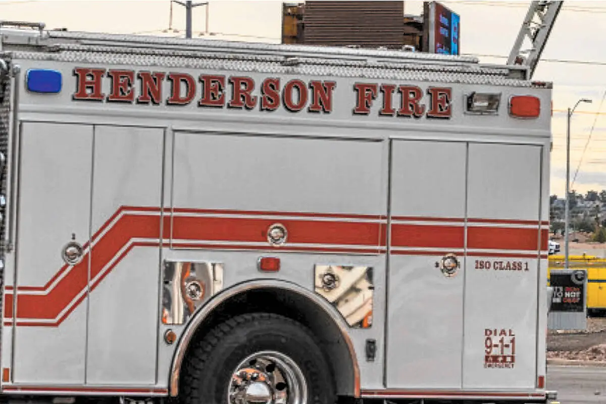
It was not the only water rescue that day. Earlier on Monday afternoon, the Review-Journal reported that the Henderson Fire Department's technical rescue team removed a person from a stalled car near Moonwalk Terrace and East Paradise Hills Drive, close to Interstate 11. The city said the car was sitting in about two feet of standing water. No injuries were reported. Julie Phillipson of the National Weather Service said storms moved through the Henderson and Boulder City areas that afternoon, with one tracking over the Henderson Executive Airport. Flood Control District gauges showed about 0.51 inches in a rural area near Henderson and about 0.28 inches in Boulder City.
The storms hit hard outside the valley too. The Review-Journal reported flash flood warnings Monday afternoon and early evening for Mohave County in northwest Arizona, San Bernardino County in Southern California, and south-central Clark County.

Why It Matters to Las Vegas Residents
The first reason is simple. We needed the rain. The monsoon season, which runs from late June through September, was almost a no-show for the valley this year. Before Monday, the airport had no measurable rain at all in September. It had only traces on Sept. 6 and Sept. 27. For context, the average September rainfall in Las Vegas is 0.32 inches, so Monday alone got the airport most of the way to a normal month.
The second reason is safety. A storm like this is exactly when our flood channels and tunnels do their job, and that is also when they become dangerous. Water from streets, roofs, and parking lots all flows into the same system. It moves fast and it rises fast. The Monday night rescue is a reminder of how quickly a dry concrete channel can turn into moving water that is hard to stand in, let alone climb out of.
The National Weather Service puts it in plain numbers. Just 6 inches of fast-moving floodwater can knock an adult off their feet. About 12 inches of rushing water can sweep away most cars. Two feet of rushing water can carry away SUVs and trucks. Remember that the car in Henderson was sitting in about two feet of water. Those numbers are not just for big floods. They apply to the water running through a wash or a flooded dip in the road after a short, heavy storm.
The third reason is where the rain landed. The heaviest totals Monday were in the far southwest valley and in South Summerlin. Those are fast-growing parts of town with a lot of newer homes and a lot of families. If you live there, you probably saw water pooling in spots you did not expect, or runoff pouring into the channels near your neighborhood. That is useful to notice. It tells you how water moves on your street and around your home.
Finally, rain in the desert changes driving. Oil builds up on our roads during long dry spells, and the first rain lifts it up and makes the pavement slick. Low spots and underpasses can collect water quickly. Monday's storm arrived in the evening, right when many people were heading home or running errands. Slowing down and avoiding flooded roads is the easiest safety move any of us can make.
Background and History
To see why this storm stood out, look at how dry 2026 has been. According to the Review-Journal, the airport recorded no measurable rain in July. In August it got 0.18 inches, compared with an average of 0.32. The last measurable rain before Monday came on Aug. 21, when the airport logged 0.07 inches. Back on June 23, the airport recorded just 0.02 inches, and that small amount broke a rainless streak of 124 days. It was the only rain that whole month.
All together, the airport has recorded just under an inch of rain so far in 2026. Las Vegas gets about four inches in an average year. So even after Monday, we are well behind. By comparison, the valley recorded 0.28 inches in September 2025.
This is also why flood control is such a big part of life here, even in dry years. Our rain tends to come in short, strong bursts, and the desert ground does not soak it up well. The Clark County Regional Flood Control District builds and funds the system that moves that water safely. At a flash flood season kickoff in June, reported by FOX5, the district said it has 722 miles of storm drains, channels, and washes, plus 113 finished detention basins. The master plan is 77% complete. When it is done, it will include 939 miles of drains, channels, and washes and 149 detention basins. The district said about $2.5 billion has gone into flood control improvements since 1986.
The district also runs more than 220 rain gauges across the county. Those are the gauges that gave us Monday's neighborhood totals. At that same June event, district General Manager and Chief Engineer Andrew R. Trelease warned that "swift-moving water only inches deep can sweep away pedestrians or vehicles." Chris Outler, a lead forecaster with the National Weather Service, said flash flooding in Southern Nevada "can develop faster than people expect."
What Happens Next
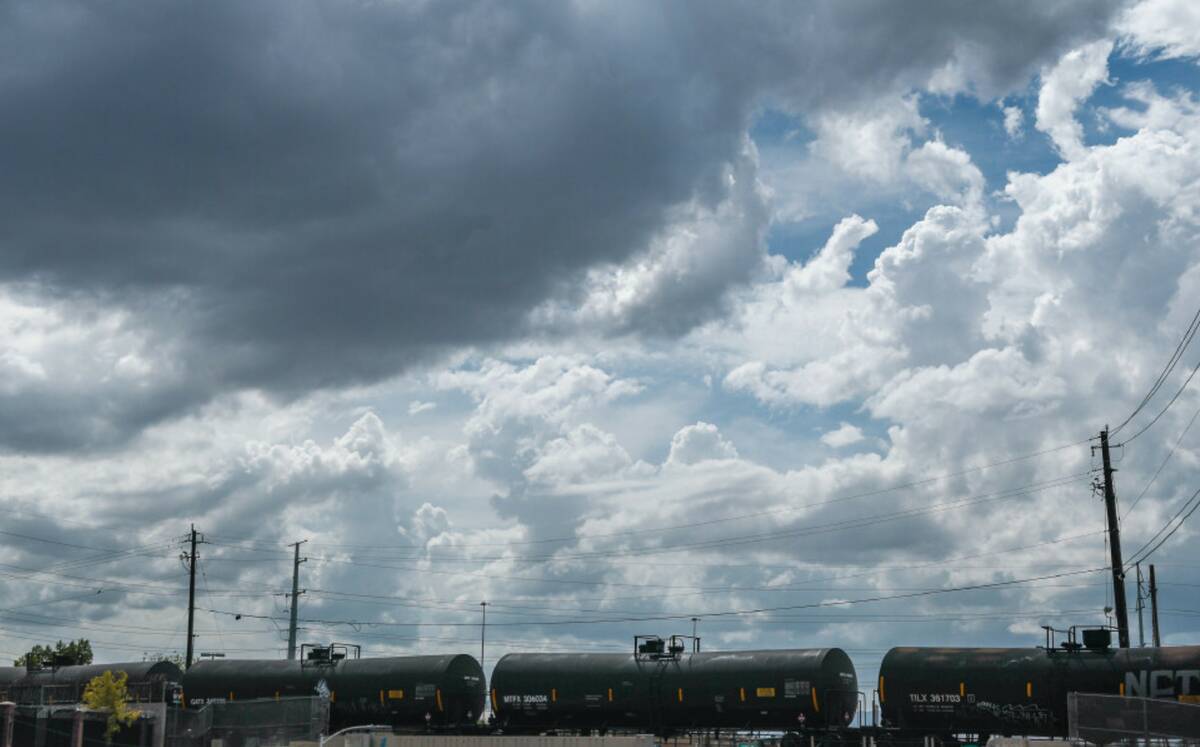
The wet stretch did not end right away. On Tuesday, Sept. 29, the Review-Journal reported light showers in Summerlin and the western valley during the morning and early afternoon, plus a few showers in the north and central valley. Planz said the valley "can't rule out a rumble of thunder" Tuesday afternoon, with highs in the low 80s, about eight degrees below normal. Mohave County in Arizona was hit with thunderstorms for a second day in a row.
After that, the forecast flips. FOX5 reported that the showers would fade Tuesday evening as the low-pressure system moved east overnight. A ridge of high pressure then takes over from Wednesday through the weekend. That means clear skies and dry weather, with highs in the low to mid 90s and morning lows in the 70s. That is about 5 to 10 degrees above normal. FOX5 said Wednesday could bring a slight breeze, with gusts up to 20 mph.
So the short version is this: enjoy the dry, warm fall weather, but do not forget what Monday looked like. The monsoon season officially wraps up at the end of September, but our valley can still get strong storms in other seasons. The flood channels stay in place all year, and so do the risks around them. The next time the forecast calls for storms, Monday is a good reminder to plan ahead.
Ryan's Take
I talk to buyers all the time who are moving here from places where rain is just part of the week. They are usually surprised by two things. First, how rare it is. Second, how fast the water moves when it does show up. Monday was a good example. A quarter inch at the airport, three quarters of an inch in the southwest, and two water rescues in one day. Most homes in the valley are built with drainage in mind and handled Monday just fine. But the storm is still a good reason to take a closer look at your own property.
When I help clients look at homes, especially in the southwest valley and Summerlin, I like to ask a few simple questions. Where does water go when it leaves the lot? Is the house near a wash or a channel? Is the yard graded so water moves away from the foundation? You can learn a lot by walking a property right after a storm like Monday's. If you are buying, it is also worth checking the FEMA flood map for the address and asking about flood insurance. At the Flood Control District's June event, FOX5 reported that flood insurance is available to all homeowners and renters no matter where they live. Most people never think about it here, and it is a question worth asking before you need it.
If you already own a home, a storm like Monday's is a free inspection. Walk the outside of your house the next morning. Look for water stains near the foundation, soil that washed out of planters, or gutters that overflowed instead of draining. If you live in a community with an HOA, pay attention to the common area drains and let the association know if you saw water backing up. Small fixes made during a dry, sunny week cost a lot less than repairs after the next storm.

What You Can Do
Start with the simplest rule. Stay out of washes, flood channels, and drainage tunnels during and after a storm. Keep kids and pets away from them too. Water can rush in from miles away, even if it is not raining where you are standing. If you see someone in trouble in moving water, call 911 right away. Do not go in after them. Monday's rescue took a trained team, a high anchor, and a full rope system, and rope bags alone could not reach the man.
On the road, follow the National Weather Service's advice: turn around, don't drown. Never drive into water when you cannot see the bottom, and never drive around barriers that close a flooded road. The road under the water may be damaged. Remember the NWS numbers: about 12 inches of rushing water can sweep away most cars. Half of flood-related deaths come from people driving through moving water.
At home, use the calm weeks ahead to get ready. Clear leaves and debris from rain gutters and yard drains. Check that the ground slopes away from your foundation. Look at where runoff pooled on your property Monday night, and fix what you can while the weather is dry. If you rent, let your landlord or property manager know about any spot where water collected. And if you want to know how much rain fell near you during a storm, the Regional Flood Control District's rain gauge network is the same source news outlets used for Monday's neighborhood totals.
Have questions about how this affects your home or neighborhood? Reach out to Ryan Rose or text/call 702-747-5921 anytime.
Ryan Rose | Real Broker, LLC | 702-747-5921 | ryan@rosehomeslv.com | rosehomeslv.com
Sources
Las Vegas Review-Journal: "Rainfall leads to water rescue in Henderson" (Glenn Puit)
Las Vegas Review-Journal: "Summerlin, Las Vegas Valley see more September showers" (Mark Davis)
FOX5 Vegas: "Scattered showers moving out; drier pattern takes over Wednesday for Las Vegas"
FOX5 Vegas: "Clark County officials urge flood preparedness ahead of flash flood season"
Categories
- All Blogs (4859)
- Absentee Owner (4)
- Affordability (3)
- ALIANTE (53)
- Anthem (33)
- Ascension (50)
- Assumable Loan (1)
- Astra (50)
- BLACK MOUNTAIN (55)
- Buyers (22)
- Cadence (17)
- Calico Ridge (50)
- Canyon Fairways (50)
- CANYONS OF SUMMERLIN (55)
- CENTENNIAL HILLS (81)
- Comparisons (46)
- CROSSINGS IN SUMMERLIN (55)
- DESERT SHORES (47)
- Divorce (3)
- Downsizing (13)
- EAGLE HILLS (55)
- Empty Nester (1)
- Enterprise (1)
- EXPIRED LISTINGS (134)
- First Time Homebuyer (4)
- Green Valley (139)
- Henderson (82)
- HORIZONS EDGE (50)
- Housing Market Trends (100)
- Informative (112)
- Inspirada (58)
- Lake Las Vegas (2)
- Lakes Las Vegas (3)
- Las Vegas Real Estate (182)
- Local News (654)
- Luxury (1)
- MacDonald Highlands (88)
- MacDonald Ranch (100)
- Madeira Canyon (93)
- MESQUITE NV (103)
- MOUNTAIN TRAILS (50)
- Mountains Edge (79)
- Naked City (35)
- New Construction (131)
- North Las Vegas (24)
- Northgate (23)
- PALISADES SUMMERLIN (50)
- Probate (28)
- Providence (2)
- Quail Ridge (35)
- QUEENSRIDGE (56)
- Red Rock (1)
- RED ROCK COUNTRY CLUB (60)
- Relocating to Summerlin (207)
- Relocation (45)
- Retired (1)
- Retirement (1)
- Reverence (15)
- RHODES RANCH (64)
- Ridgebrook (40)
- Sellers (255)
- Seven Hills (83)
- Silverado Ranch (1)
- Silverstone Ranch (39)
- SKYE CANYON (100)
- SKYE CANYONE (4)
- Southern Highlands (94)
- Southwest (19)
- SPANISH TRAILS (55)
- SPRING VALLEY (70)
- Summerlin (104)
- Sun City Summerlin (3)
- The Arbors (37)
- The Cliffs (50)
- THE HILLS (55)
- THE PASEOS (55)
- The Pueblos (27)
- THE PUEBLOS OF SUMMERLIN (42)
- THE RIDGES (65)
- THE VISTAS OF SUMMERLIN (50)
- The Willows (60)
- Thoughts on Home Tour (2)
- TOURNAMENT HILLS (50)
- Veterans (3)
- WHITNEY RANCH (55)
- Workers Advantage Program (100)
Recent Posts








GET MORE INFORMATION